The Crest of Cres
I went to island Cres with a plan to sleep in a boarding house and explore the surroundings on foot. I am interested in Cres’ unmarked trails: I follow a trail on a hunch in search of a beautiful trip. The paths follow the logic of their own. To get to the most beautiful parts, sometimes you need to get off the trail. Exploring off the trail is where the real adventure is and the way to discover authentic and extraordinary locations.
I focused on the route that passes through the highest points of the island’s northern part. The Cres Hiking Association plans to trailblaze it, but the realization is going slowly. The route is wild and unmarked for the most part. You create the path yourself as you progress. I was discovering a hiking route to the south side – and it was much fun to be a pathfinder! It turned out that the path is entirely passable. Some minor obstacles here and there that were easy to remove or bypass.
I call this the Tramontana ridge tour or Crest of Cres hike. The crest – or the ridge – is wide. The views are great and the terrain is stable. The word “ridge” evokes the image of a steep and narrow alpine ridge, but the Cres’ ridge is wide with gradual slopes on both sides.
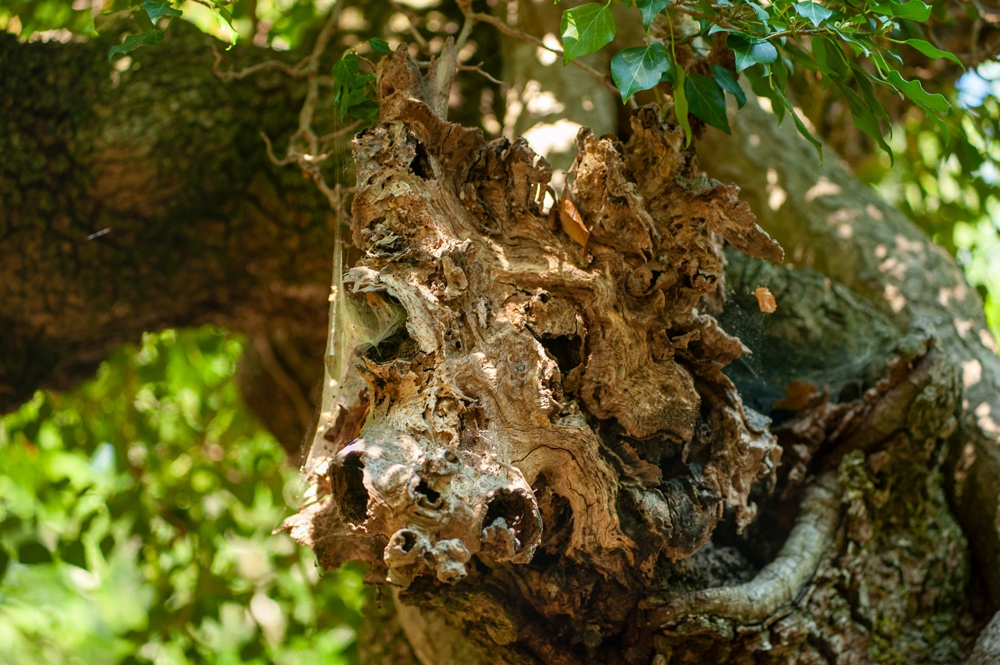
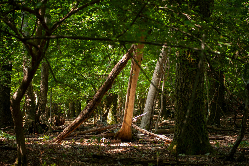
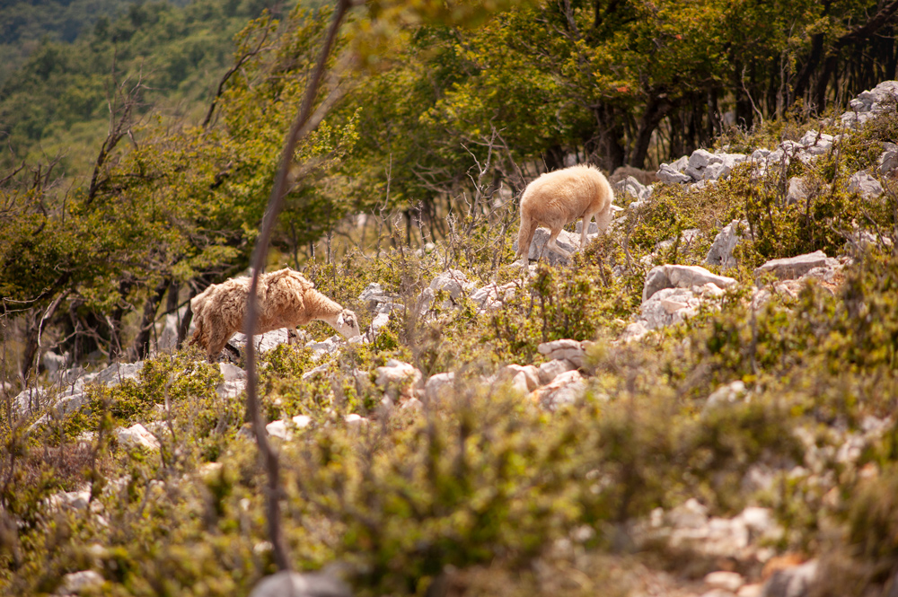
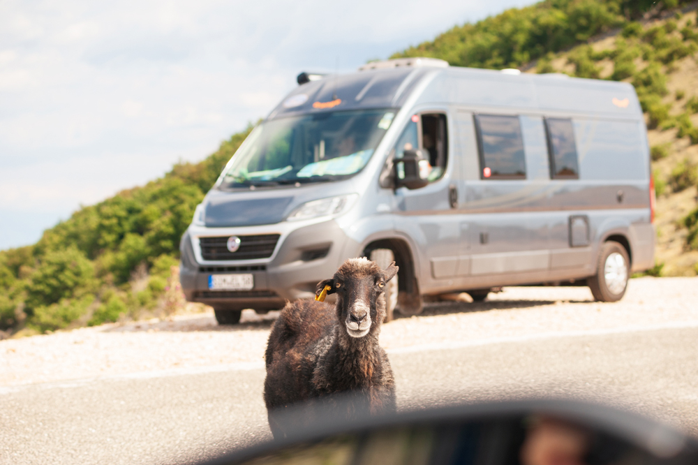
The first part of the trail is winding through meadows and forests. It is easy and relaxing walk. Sheep are everywhere and many are wild, cruising the island like pirates. Sheep is the main critter here next to boars and deer. The forest is fantastic and each tree looks like it will come to life. It looks like a fossilized remnant of some ancient druid magic. Everything here is absorbed by tranquillity.
I reached the beginning of the ridge in two hours. The beginning of the ridge is noticeable by a steep slope. The hill in front of me is large and spacious. The terrain is nothing like the jagged peaks of the alps. There are no pointed ridges. Nothing is too prominent here. I started to walk up by following the imaginary line on the topographic map. I climbed in zigzag style along the isohypses until I reached the northern tip of the ridge.
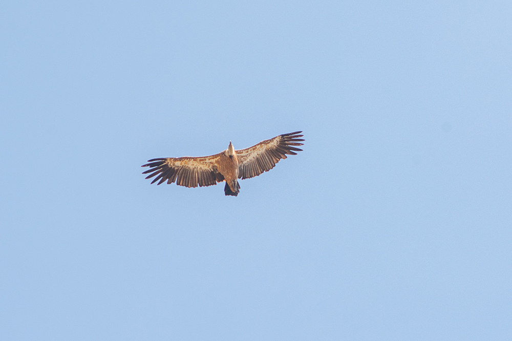
Soon I came out to the top. I walked the middle of the ridge for hours, exploring. I discovered a beautiful landscape along the way. It’s an exciting route that passes through the remains of human settlements from some ancient time. The views are fantastic. The environment is rough. I scared three boars. They slept curled up next to each other in some ravine. I guess they didn’t expect me here. My step woke them up. They got scared as hell and ran downhill at bullet speed.
I was caught in the rain that day. The forecast was rain in the evening but it came early afternoon. I can stand a little rain but this was a real summer downpour with lots of thunder and lightning. I was in the middle of the ridge when I realized that a big dark cloud was coming from the west.
I went down the hill, got rid of my backpack (it was full of metal photographic equipment), tucked it away and took shelter under thick bushes. The storm passed above me. It was a short summer storm, but intensive. I was soaked. It was a magnificent view though. The steam began to rise from the valleys and carried by the wind it crossed the top of the island. I climbed back to the top of the ridge and moved on as planned.
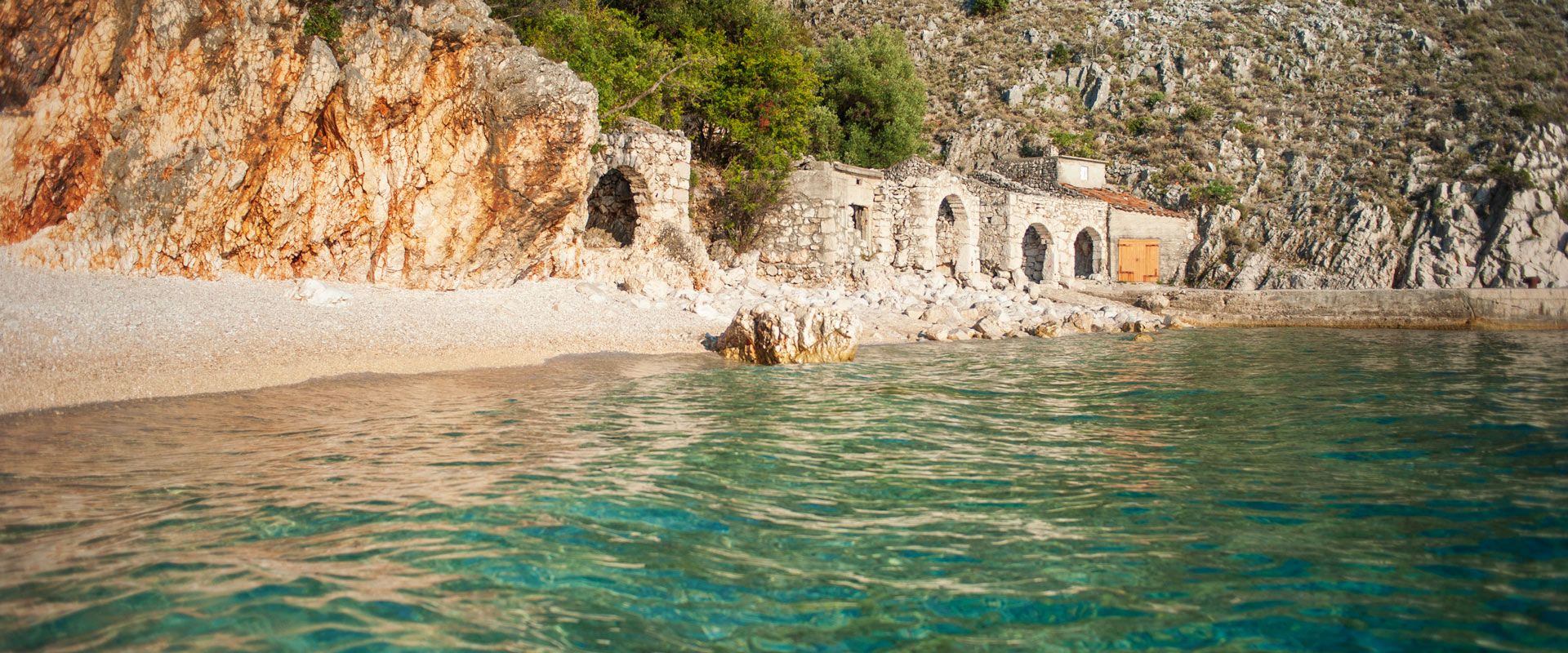
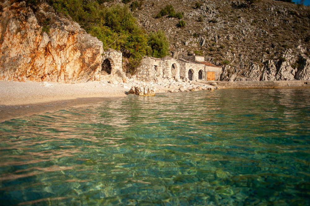
Finally, I walked down the southern ridge to the road that runs from north to south of the island. I called a taxi. A car dropped me off at a village from where I descended to the western shore (opposite of where I started this morning). That way I traversed the summit ridge and spanned the island from one coast to another. I walked across the northern head of the island lengthwise and crosswise. This is what exploring Croatia on foot looks like.
I’m going to jump in the sea, eat something fine and plentiful, rest and sleep tight – tomorrow is a new day and a next adventure!